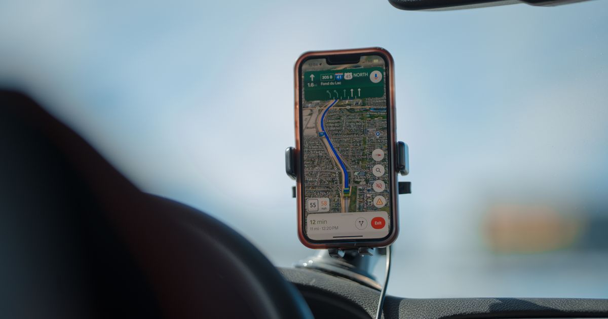
A phone with no cell signal and no Wi-FiA wireless technology that connects devices to the internet through a router, without needing a cable. It reaches farther than Bluetooth but needs that router or hotspot nearby. More in the glossary can still pinpoint your location on a map to within a few meters, which seems almost impossible until you understand what is actually happening. GPSShort for 'Global Positioning System,' a network of satellites a device uses to figure out its exact location on Earth. It powers maps, navigation, and 'find my phone' features. More in the glossary, short for Global Positioning System, does not ask anything or send any request up into space. It works by listening to a constant stream of faint radio signals broadcast downward by a set of satellites and doing some surprisingly simple math with the timing of those signals.
The whole system rests on one basic physical fact: radio signals travel at the speed of light, a fixed and known value. If a device can precisely measure how long a signal took to arrive from a satellite whose exact position is known at that instant, it can calculate exactly how far away that satellite was. Combine that distance measurement from several satellites at once, and a receiver can work out its own position through pure geometry, without any satellite needing to know anything about the receiver at all.
Satellites Are Constantly Broadcasting, Not Listening
GPS satellites orbit roughly twelve thousand miles above Earth and continuously broadcast a one-way signal containing their own precise position and the exact time the signal was sent, generated by extremely accurate atomic clocks on board. Your phone's GPS receiver does nothing but listen; it never transmits anything back up to a satellite. This one-way design is part of why GPS works anywhere outdoors with a clear view of the sky, with no subscription, no cellular signal, and no data connection required, and why an unlimited number of devices can use GPS at once without ever straining the system.
The satellites themselves are spread out across several different orbital paths so that, at any given time and from almost any point on Earth, at least four of them are positioned somewhere above the horizon and able to be received. This careful orbital arrangement, maintained and monitored continuously, is what makes GPS reliably available worldwide rather than only in certain regions or at certain times of day.
Measuring Distance by Measuring Time
Because radio signals travel at a known, constant speed, a receiver that can tell exactly when a signal left the satellite and exactly when it arrived can calculate the distance that signal traveled, simply by multiplying that travel time by the speed of light. A difference of even a few billionths of a second in timing translates to a real difference in calculated distance, which is why GPS satellites carry such precise atomic clocks and why your phone has to work with extremely fine timing to get an accurate result.
Why One Satellite Isn't Enough
Knowing your distance from a single satellite only tells you that you are somewhere on a giant sphere centered on that satellite, which narrows things down but still leaves an enormous number of possible locations. Adding a second satellite's distance narrows your position to the ring where two spheres intersect. A third satellite narrows it to just two points, usually with one of them being an obviously impossible location, like somewhere deep in space. This is the core geometric trick behind GPS: each additional known distance from a known point cuts down the remaining possibilities until only one realistic location is left.
Why Phones Actually Use a Fourth Satellite
In practice, phones use a signal from a fourth satellite as well, not for extra geometric precision but to correct a timing problem. Satellites carry extremely accurate atomic clocks, but the small, inexpensive clock inside a phone is nowhere near as precise, and even a tiny clock error translates into a large distance error given how fast radio signals travel. By comparing the timing across four satellites at once, the receiver can solve for its own clock's error at the same time as solving for its position, effectively correcting for its own imprecise internal clock using the satellites' far more accurate ones.
Why GPS Struggles Indoors or Downtown
GPS signals are quite faint by the time they reach Earth, having traveled thousands of miles from orbit, so they are easily blocked by solid materials like roofs, concrete floors, and dense building materials. This is why GPS often fails to get a precise fix indoors. In dense cities, GPS signals can also bounce off tall buildings before reaching a receiver, arriving slightly delayed compared to a direct path and throwing off the timing calculations, a problem commonly called the urban canyon effect, which is part of why location accuracy can degrade noticeably downtown.
Weather generally has very little effect on GPS accuracy, since the radio frequencies used are specifically chosen to pass through clouds, rain, and fog with minimal loss. The far bigger factors are almost always physical blockage from buildings, terrain, or dense foliage overhead, rather than atmospheric conditions, which is a common point of confusion given how often other kinds of signals are affected by weather.
How Phones Improve on GPS Alone
Modern phones rarely rely on satellite signals by themselves. They often combine GPS with nearby Wi-Fi network locations and cell tower positions, both of which can provide a rough location almost instantly, even before a clean satellite fix is achieved, and can help indoors where satellite signals barely reach at all. This combination is part of why a phone can sometimes show a reasonably accurate location within a second of opening a map app, well before enough satellite signals would have arrived to calculate a position through GPS alone.
Example: Why Three Satellites Narrow You Down to One Spot
- Distance from satellite one places you somewhere on a huge sphere around it.
- Distance from satellite two narrows that down to a circle where two spheres meet.
- Distance from satellite three narrows it to just two points on that circle.
- One of those two points is usually an impossible location, like far out in space.
- That leaves exactly one realistic point left: your actual location.
- A fourth satellite is added mainly to correct for the phone's less precise internal clock.
Common Mistakes
- Assuming GPS requires cell service or an internet connection, when it works purely from one-way satellite signals.
- Thinking GPS satellites somehow track or receive information from your phone, rather than only broadcasting outward.
- Expecting GPS to work reliably indoors or in a parking garage, where signals are blocked by roofs and walls.
- Blaming GPS broadly for location errors that are actually caused by a phone's clock, nearby tall buildings, or weak signal reflections.
- Assuming rain or cloudy weather is the main reason GPS struggles, when physical blockage from buildings or terrain is almost always the bigger factor.
Frequently Asked Questions
Does using GPS drain a phone's data plan?
No, GPS signals are received directly from satellites and involve no cellular data at all, though map apps often use data separately to download map images.
Why does my location sometimes jump around while driving through a city?
Signals bouncing off tall buildings before reaching your phone can distort the timing calculations, a known issue called the urban canyon effect.
How accurate is GPS normally?
Under open sky with a good signal, consumer GPS is typically accurate to within a few meters, though accuracy can vary with satellite positioning, weather, and nearby obstructions.
Can GPS work on an airplane in airplane mode?
Many phones can still receive GPS signals in airplane mode since GPS reception does not involve transmitting anything, though some settings or airlines restrict this for other reasons.
Why does it sometimes take a while to get a GPS fix after turning location on?
The receiver needs to lock onto signals from enough satellites and gather their precise timing data, which can take longer if it hasn't received a fix recently or if the view of the sky is partially obstructed.
Sources
- GPS.gov — official U.S. government GPS information site — https://www.gps.gov/
- NIST — timing, atomic clocks, and measurement standards — https://www.nist.gov/